

GNSS · CORS · Nigeria
Sacredion Online GNSS Positioning Service
(SOGPOS)
Gathering all GNSS data you need in one place. Centimetre-level CORS access across Nigeria, around the clock.
Live RTK in the field
SOGPOS Mobile
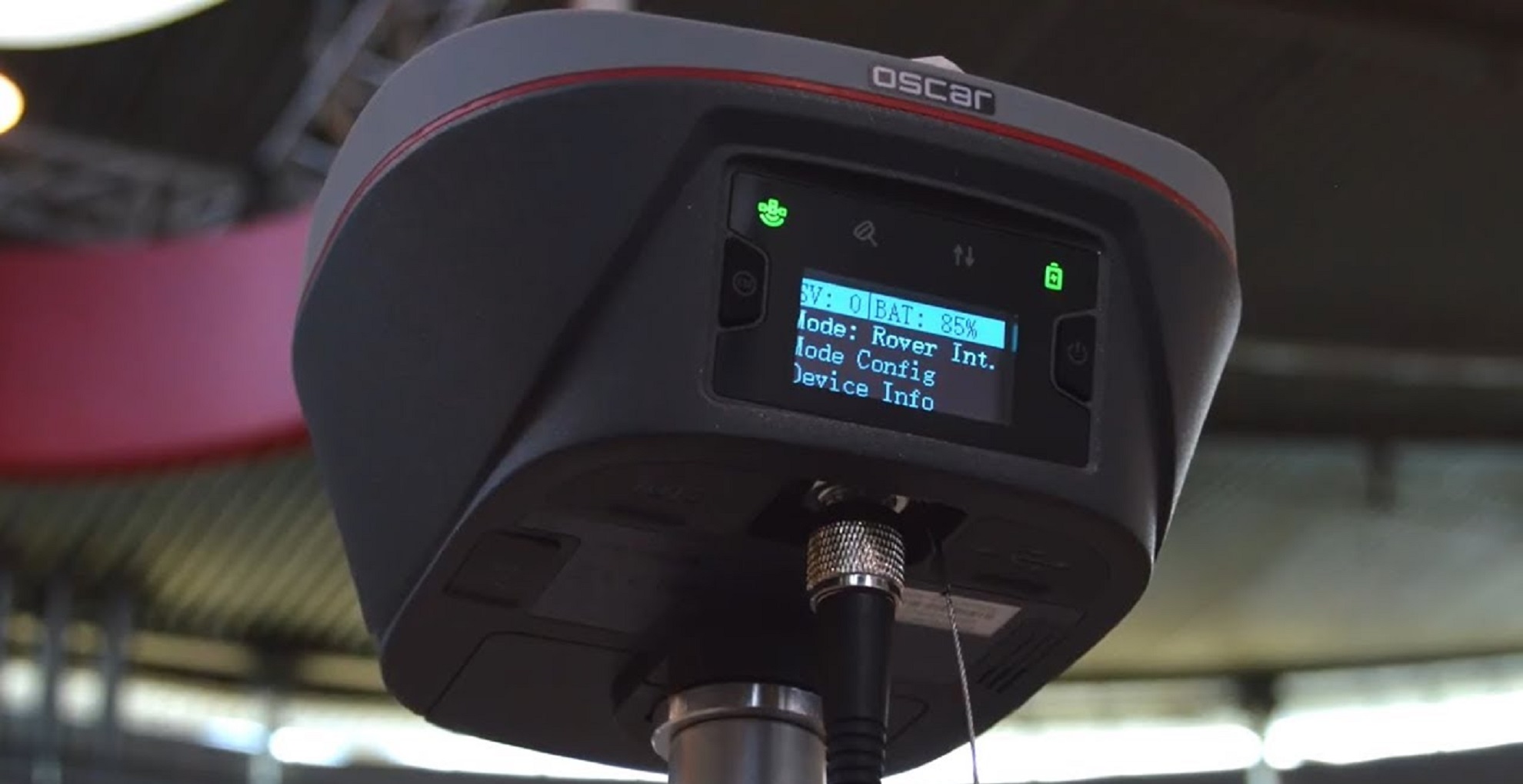
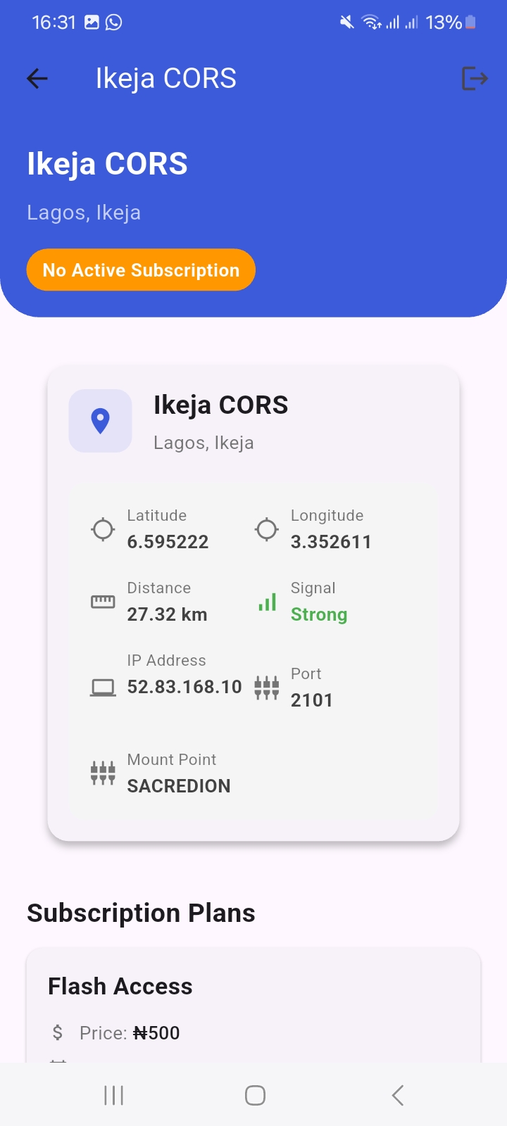
Download the SOGPOS Mobile app on Google Play to access live RTK corrections across the Sacredion CORS network — wherever your survey takes you.
- ✓ Live RTK/NTRIP access across 22 CORS stations nationwide
- ✓ Centimetre-level positioning for cadastral and engineering surveys
- ✓ Built for field crews — connect, fix, and work with confidence

22 stations · 16 states
Pick a CORS station
Choose a state, then open the station you need for GNSS observations.
Post-processing
Tersus Geomatics Office
Registered users can download GNSS post-processing software free on this platform.
What is SOGPOS?
SOGPOS — Sacredion Online GNSS Positioning Service is a nationwide GNSS positioning infrastructure developed by Sacredion Nigeria Limited in collaboration with Tersus GNSS Inc. to provide surveyors, engineers, researchers, and geospatial professionals with reliable and convenient access to high precision GNSS correction services and observation data.
SOGPOS provides real time RTK correction services via NTRIP, enabling centimetre level positioning for surveying and engineering applications. It also provides access to static GNSS observation data in RINEX format for post processing, geodetic research, control establishment, and other precision positioning applications.
At the heart of SOGPOS is a growing network of Continuously Operating Reference Stations (CORS) strategically distributed across Nigeria. The platform is designed around a simple objective:
Make high precision GNSS positioning and data readily accessible, without geographical limitations.
Rather than operating as an isolated CORS network, SOGPOS is being developed through collaboration between industry, academia, professional institutions, and private surveying practitioners, creating a shared positioning infrastructure that supports the wider Nigerian geospatial community.
SOGPOS represents more than access to correction data. It is an expanding GNSS positioning ecosystem designed to give surveyors and engineers limitless possibilities for precise positioning anywhere within its network coverage.
Where our CORS are located
22 stations across the Country.
Click a marker to identify a station.